Stuart
Island
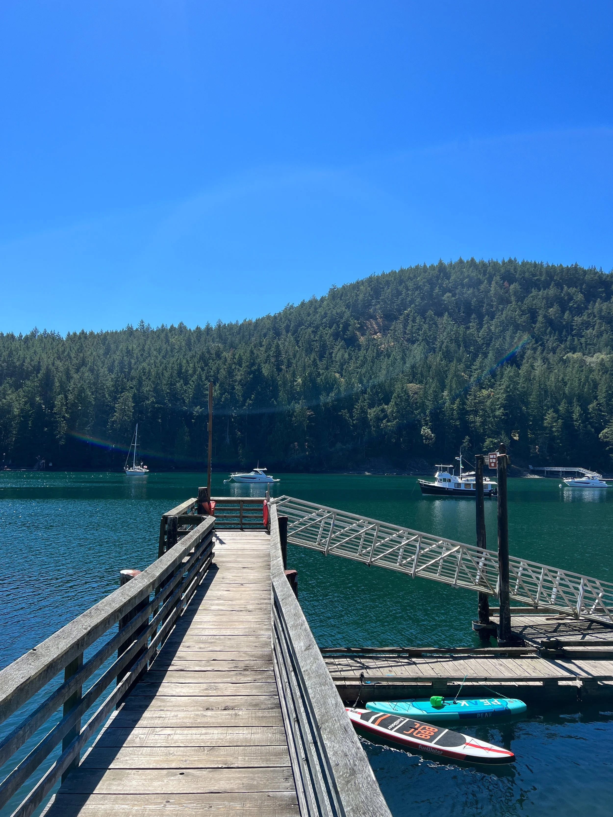
Two well protected harbors, state-park moorage, long island walks, and a lighthouse destination that earns the extra night.
Reid Harbor
Connectivity
Cell coverage can be limited; do not rely on a connection for payment or safety information.
Local notes
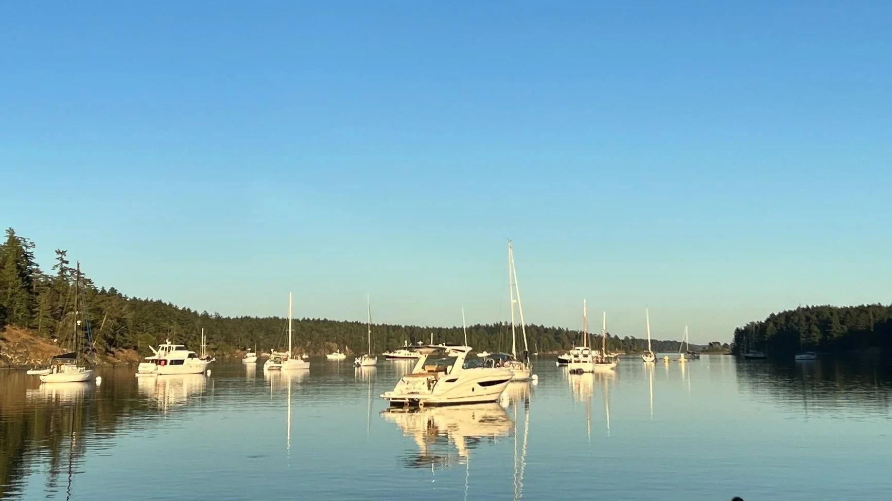
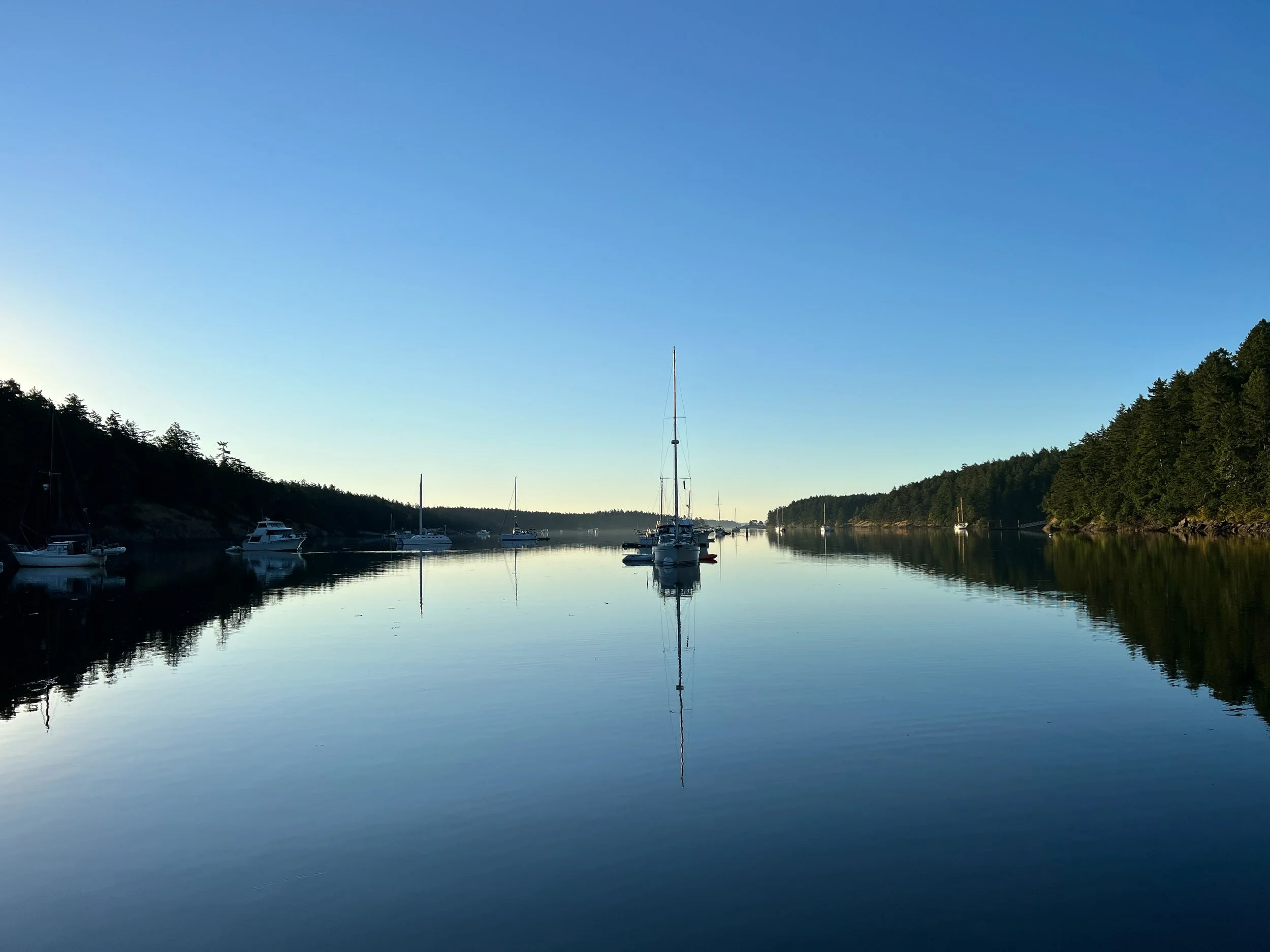
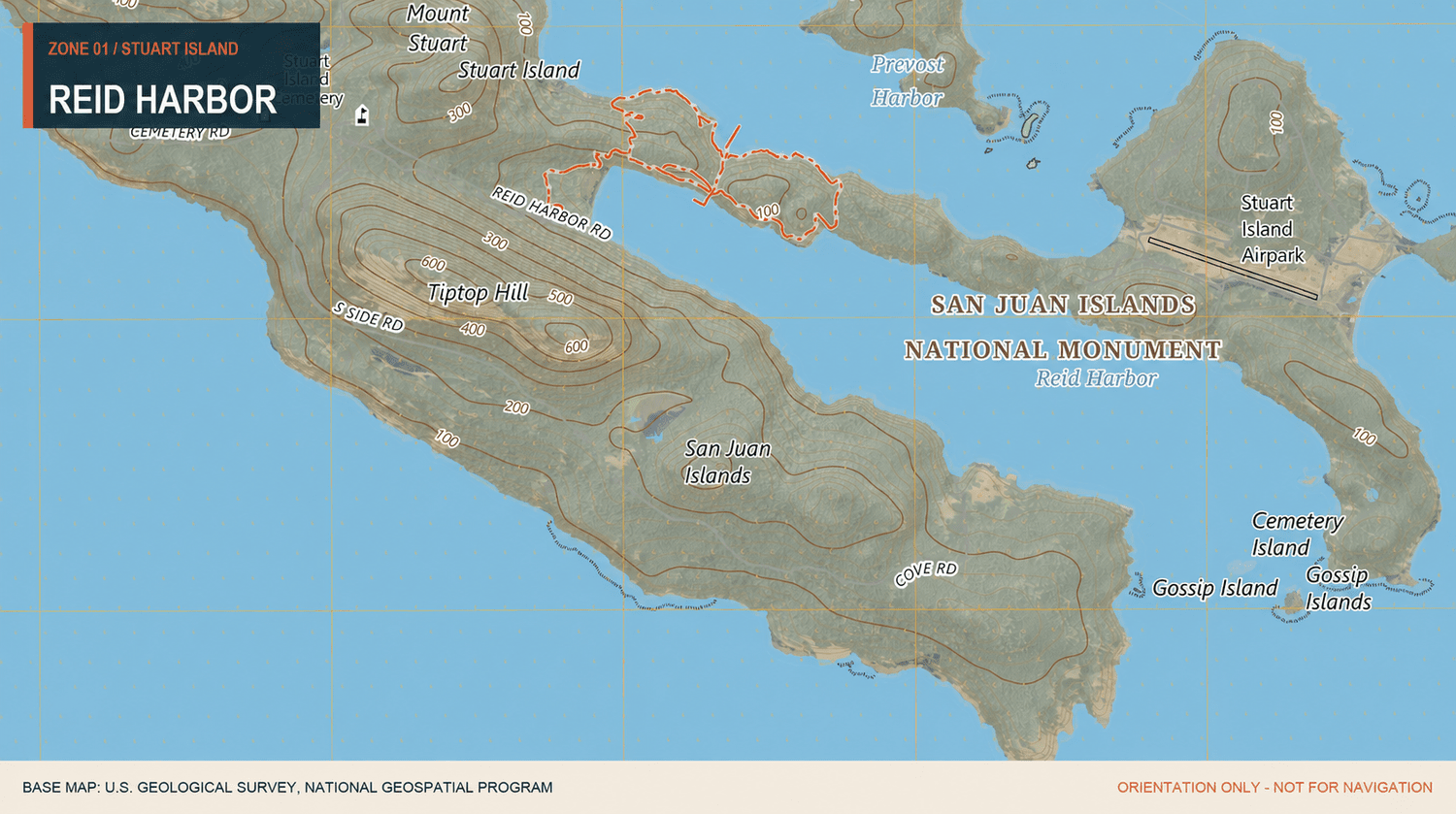
There are plenty of good anchoring spots along the entire length of Reid Harbor.
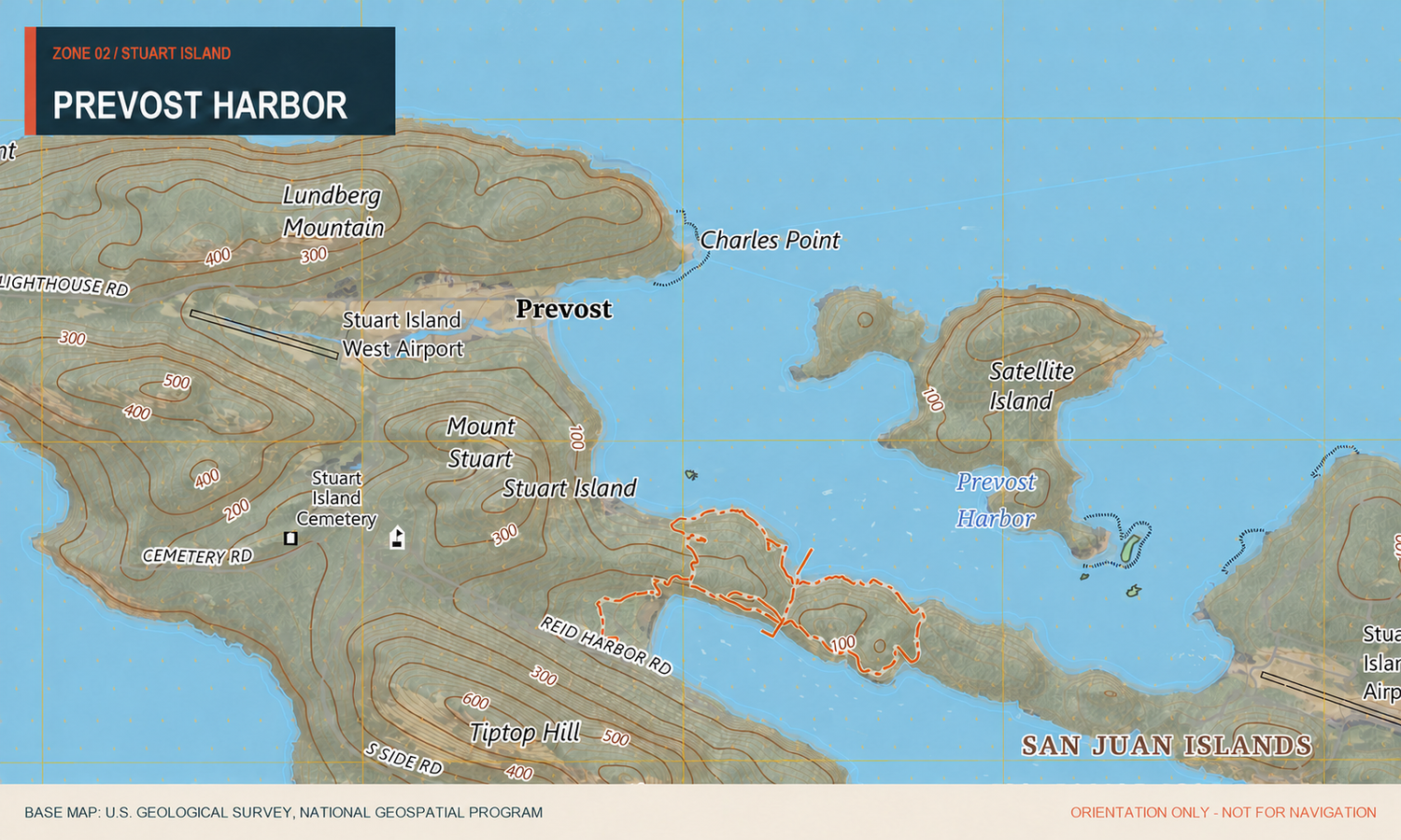
Prevost Harbor
Connectivity
Cell coverage can be limited; do not rely on a connection for payment or safety information.
Local notes
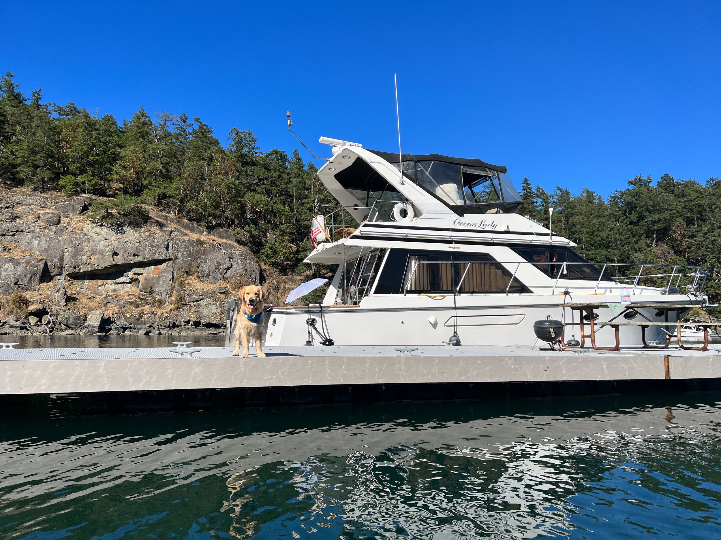
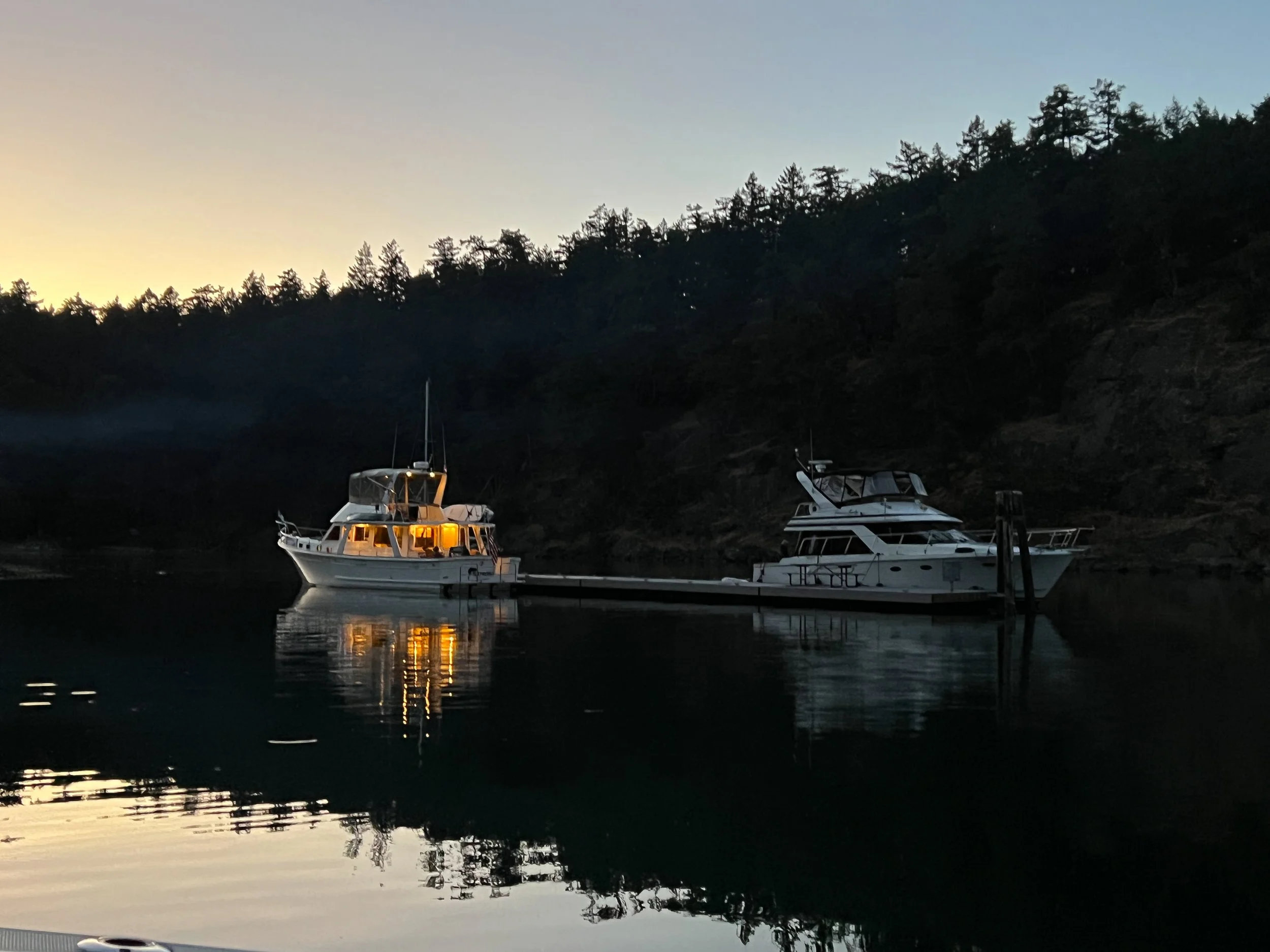
This is a great spot for larger groups, with campsites available nearby.
Beyond the
harbors.
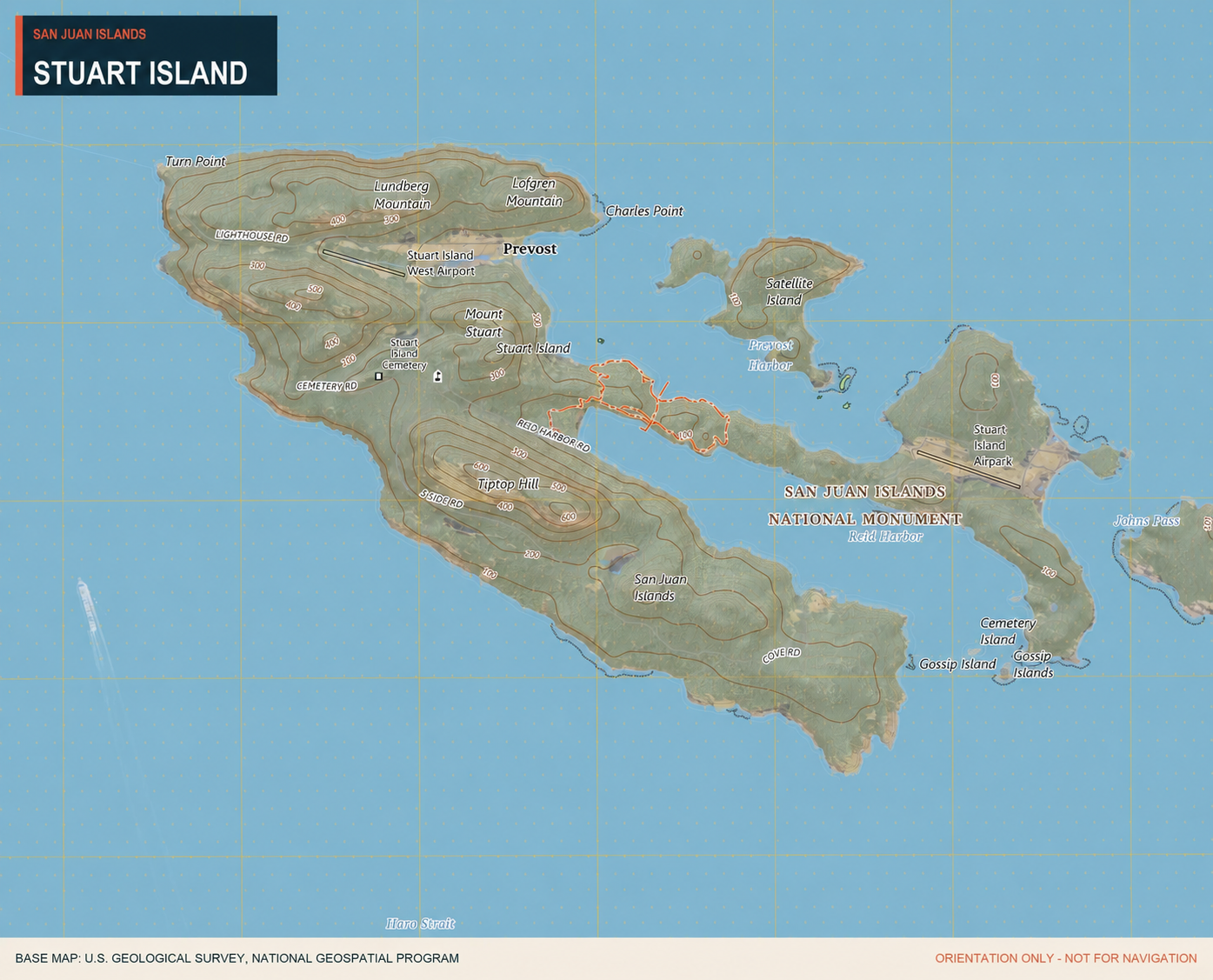
History, geography, recreation, community context, and landmarks that apply to Stuart Island as a whole.
Stuart Island is a remote San Juan Island destination known for two well protected harbors, but it has much more to offer.
Stuart Island is 2.881 sq miles. It is home to 2 communities of full-time and part-time residences, a one room school house and two airstrips. Popular hikes include a walk to the one room school house and a stop at the “Treasure chest”. Another popular hike is a longer walk out to Turn Point Light Station. Destinations are accessible by a county road.
Camping
The park also has 14 primitive campsites and four marine trail sites. Camping is available on a first come, first served basis. Most sites are located on Prevost Harbor or on the ridge that separates Prevost and Reid harbors. There are outhouses available in the camping areas. This is a popular site for kayakers to come in for camping.
Treasure Chest
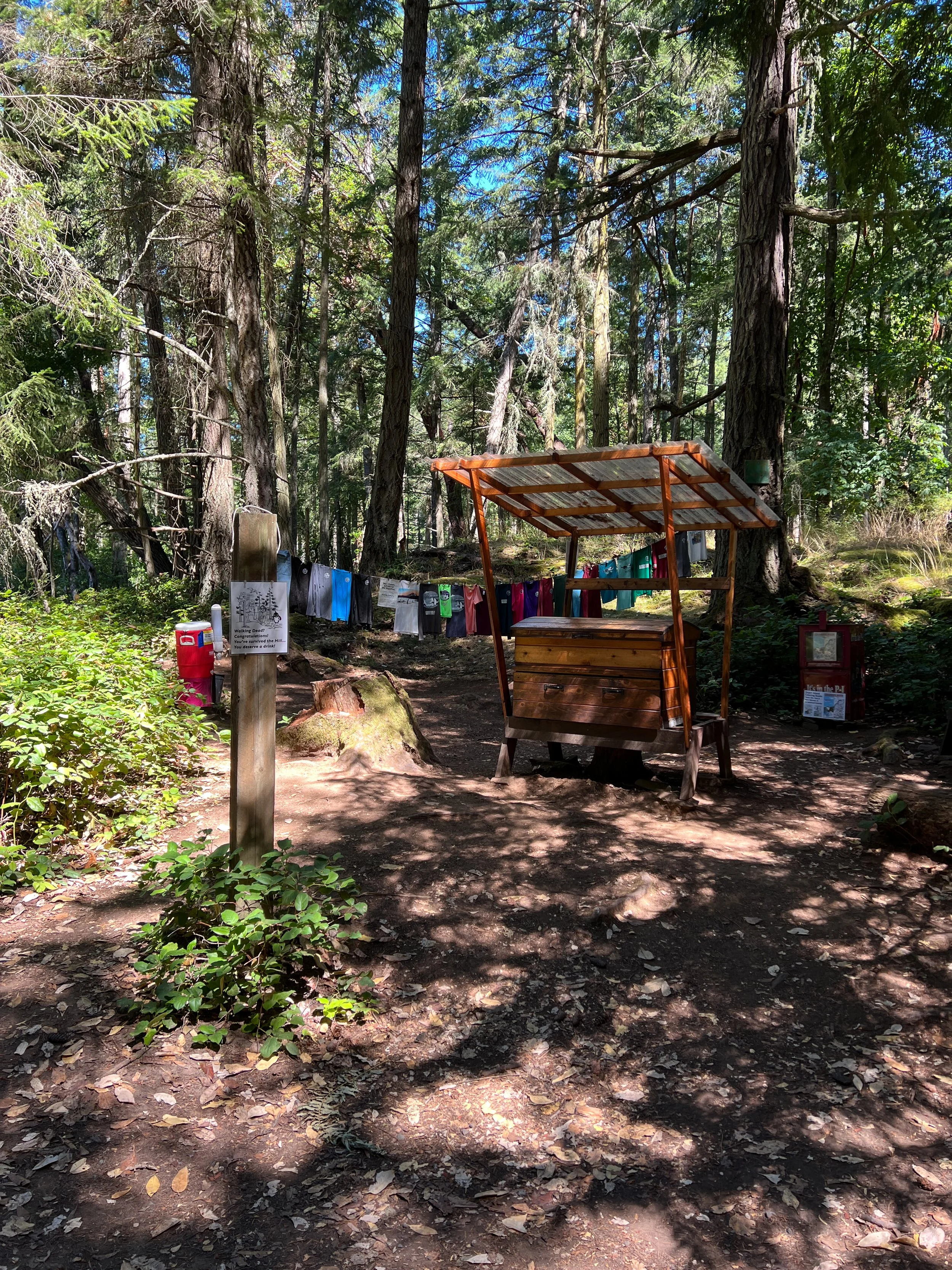
The Treasure Chest is a small shop accessible by hiking up the county road. It offers T-shirts, sweatshirts, cards, and other items from local artists. The shop operates entirely on the honor system—you can pay with cash or online. It is run by Ezra and Loie Benson, longtime island residents who raised their children on Stuart Island. They often have water available as well, which can be especially welcome after the long uphill walk to the shop (located next to the schoolhouse). More information is available at https://www.boundarypasstraders.com
Schoolhouse
The original one-room schoolhouse, built in 1897, now serves as a museum. A newer schoolhouse, built in 1980, is part of the San Juan Islands School District.
Turn Point Lighthouse
The historic Turn Point Light Station on Stuart Island was built in 1893 and automated in 1974. Located at the island’s western tip, it overlooks Haro Strait and the Salish Sea. Managed by the Bureau of Land Management, the site offers sweeping views and is a prime spot for whale watching. A popular, moderately challenging 6-mile round-trip trail leads from Reid Harbor through Stuart Island State Park, past the island’s historic one-room schoolhouse, and on to the lighthouse.
Island life
Living on Stuart Island, Washington is an exercise in extreme self-reliance, profound quiet, and deep connection to nature. With a tiny permanent population of roughly 20 to 50 residents, it sits near the Canadian border as one of the outer, non-ferry-serviced San Juan Islands, accessible only by private boat, plane, or water taxi
Verified ✓
Stuart Island
visit notes.
Protected overnight
Reid Harbor has long been a favorite overnight stop during Salty Baller visits. Beyond its beauty and peaceful setting, it has also provided a welcome refuge from storms. When the weather turns, we’ve been able to find safe, protected moorage deep within the harbor.
Worth going ashore
This is a wonderful place to get off the boat and stretch your legs. Walking to the schoolhouse, stopping at the Treasure Chest, and making the longer trek out to the lighthouse are some of the highlights that keep us coming back.
Practical note
The registration-area path is steep and connectivity inside the harbor can be limited making it difficult to use online payment.
Baller Verified reflects dated firsthand experience. Conditions change. Always use current official charts, notices, regulations, weather, and local information for navigation and trip decisions.